
A Tutorial on GeoAI: Designing Footprint Extraction from NAIP Imagery…
Source: marktechpost.com
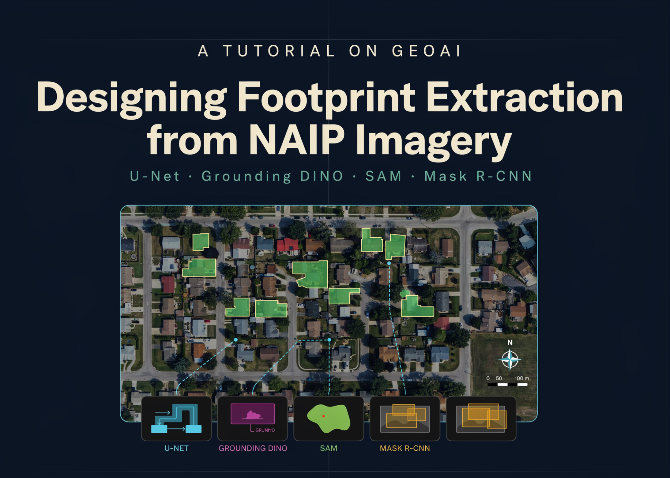
The tutorial presents a complete GeoAI workflow for extracting building footprints from high-resolution NAIP aerial imagery. It begins by configuring the geospatial deep learning environment, downloading raster imagery and vector labels, and inspecting their spatial properties before generating georeferenced image chips and segmentation masks. A U-Net model with a ResNet-34 encoder is trained, evaluated, and applied via sliding-window inference to an unseen scene. Beyond semantic segmentation, predicted masks are converted into cleaned and regularized building polygons, with IoU and F1 metrics calculated. The workflow also explores zero-shot segmentation using Grounding DINO and SAM, and compares results with a pretrained Mask R-CNN instance segmentation model. The same pipeline extends to real-world areas using NAIP imagery from Microsoft Planetary Computer and building labels from Overture Maps. The configuration includes a tile size of 512, stride of 256, buffer radius of 0, U-Net architecture with ResNet-34 encoder and ImageNet weights, 3 channels, 2 classes, batch size of 8, 12 epochs, learning rate of 1e-3, and a validation split of 0.2. The window size is 512 with an overlap of 256, and options are set for zero-shot and pretrained runs. The environment setup involves installing geoai-py and related packages, with a note that installation takes approximately 2-4 minutes on Colab, and checks for CUDA availability for GPU training.
SUCKS 0
0
0
Comments
This page shows all existing comments. To add a new comment, open the post in the forum.
No comments yet.